
Loving a River--The Penobscot Paddling Trail, by Cloe Chunn
By Cloe Chunn
Life offers a plethora of opportunities to help others and to "leave the world a better place." When I found myself run ragged embracing so many good causes, I had to stop, look at which challenges I was effective at, and which efforts give back life and love. (Some call this picking your battles.) From these I wrote my "mission statement." After that, before adopting a new challenge, I permit myself to ask if it fits my mission. The statement? Long ago I heard the maxim, "In the end, we will save only what we love, and we will love only what we have been taught to love." The natural world is my mission, both loving it and saving it, by teaching and acquainting others with Earth’s grandeur and beauty, her unimaginable detail of relationships, her life-giving source of everything, this holy green and blue Earth where we nest. Part of this mission became:
The Penobscot River Paddling Trail
The Penobscot River is Maine’s largest river, with a watershed occupying 1/3 of the state. The river roughly bisects the state and coastline. There are traditional paddling trails, with periodic primitive campsites along the way, along the East Branch and the West Branch, but there are only a couple of campgrounds and no single sites along the 100-mile main stem of the river down to the sea.

The Backstory
In 2012, my husband and I had the good fortune to help a University of Maine graduate student net and tag sturgeon for research. We worked from a Boston Whaler in a tidal stretch of the river several times, and were astonished to see how wild and pristine much of the Penobscot shoreline is. Tall, nearly vertical cliffs line the banks, thickly forested and dotted with bald eagles on nests or fishing for smaller fish than sturgeon. That summer convinced us we wanted to paddle the river in our canoe. We scouted it over the winter and spring, and drove to the Penobscot Indian reservation to ask permission to camp on their islands.
Falling in love with a River
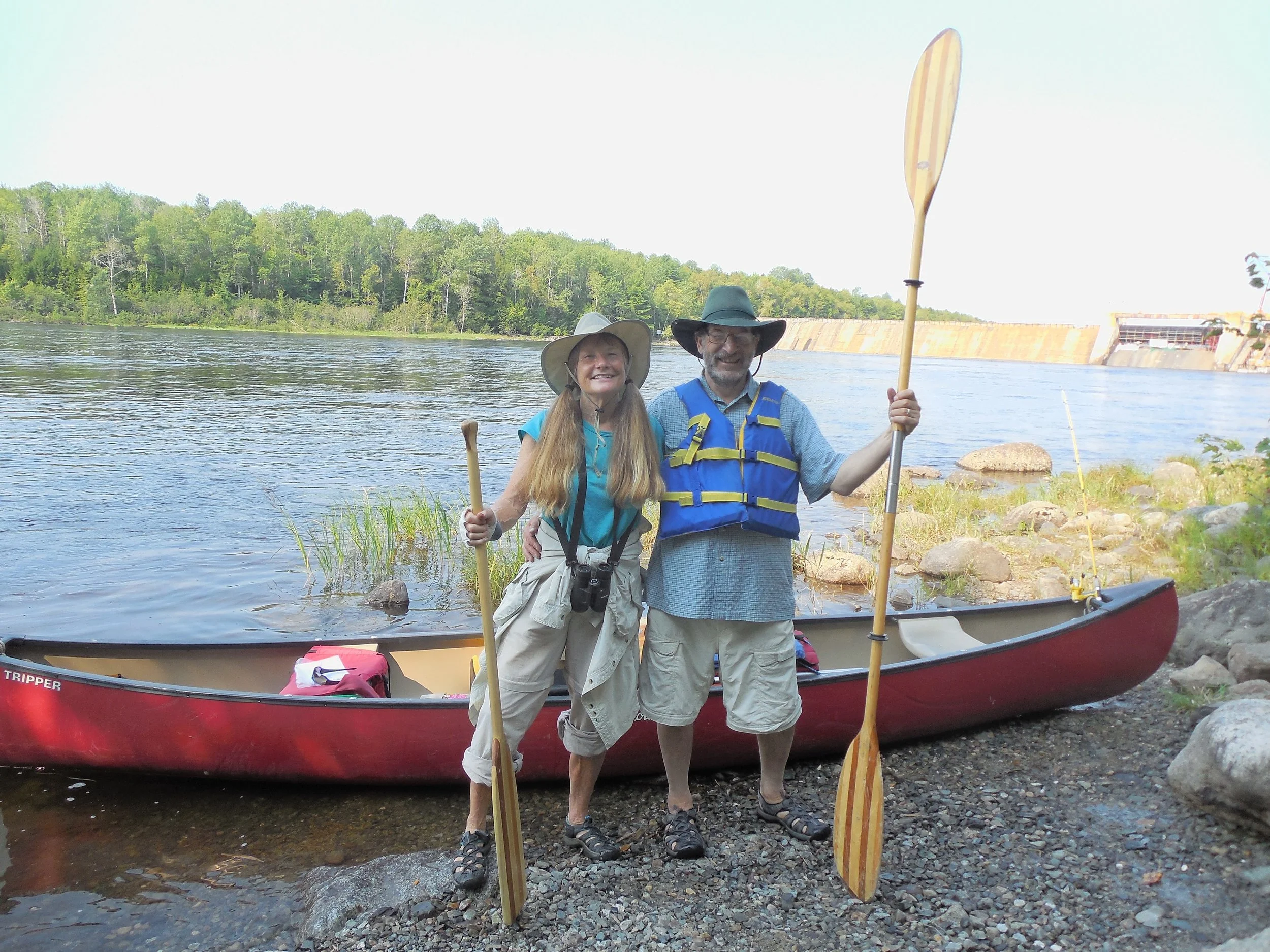
In August of 2013, our dream came true and we put our canoes in just below the Mattaseunk Dam, about 6 miles downriver from the confluence of the East and West branches in Medway. Putting in below the dam avoided a portage at the start. David trolled a handline from his seat in the stern, and caught several small-mouth bass. There was at least one eagle, mature or immature, in the sky at all times. We camped our first night on Mahockanock Island south of Lincoln, one of the two Penobscot Nation islands we had permits for. The 22-mile day was longer than we had planned and after our dinner of bass and corn we collapsed in the tent.
On our second day, 14 miles, two enjoyable friends paddled with us. They became essential helping us portage the West Enfield dam with all our gear in the hot sun, and then we plunged into the river for a cooling swim. That night we stealth camped downstream from the Passadumkeag River mouth.

Each day passed with new sights of cardinal flower, Joe Pye weed in bloom, eagles, mergansers, and kingfishers, David pulling in a bass now and then. The river was not flatwater for long before we’d begin to hear the whir of whitewater ahead and wonder how the rapids would treat us. The Penobscot gets its name from the frequent whitewater rapids, translating as “water falling over rock ledges.”
We camped two nights on the Penobscot Nation’s Big Sugar Island, a paradise with good fishing, walking, and swimming. My journal for this day records, “peewees, 2 deer, geese, cicada, marsh hawk, more eagles, brown creepers, chickadees, gray tree frog, 3 leopard frogs, mourning dove, spotted sandpipers all along the way, osprey. Purple loosestrife, virgin’s bower, several aster species.”
Two days later we took out at the Old Town boat launch expecting a long portage through town, when a friendly guy in a pick-up offered to carry us and our canoe around the Milford Dam. Shortly after putting back in, we rounded a corner and Shad Rips took us by surprise with a whoosh of water. We stopped, emptied, and decided to scout the next, Great Works rapids, where a dam had been removed the previous summer. We made Great Works without taking a drop and ate a celebratory lunch on some smooth rocks on the shoreline. That night we stealth camped just above the Veazie Dam, which was in the process of removal.
The next day, our 7th, we portaged over wet sand through a breach in the Veazie Dam and paddled through fun standing waves below the dam. Our last whitewater was standing waves at the site of the old Bangor Dam. The 14-mile day was broken up by lunch at Geoghan’s in Bangor, where the food was excellent, topped only by sitting in a real chair with a backrest. The rest of the day we were in the tidal part of the river and made it to a friend’s property in Orrington, where we stayed for two days, including the only rainy day of the trip.
It took three more days to finish paddling the 110 miles to our home, down the last of the river, widening out into Penobscot Bay, down the coast to Belfast Harbor, and up a smaller local river to head of tide. From there, it was a one-mile walk to our house, and very satisfying to arrive body-powered all the way.
The Upshot: a paddling trail
While experiencing the wonder and variety of the river, so wild in places, we kept saying it should be a paddling trail with legal campsites. We presented the idea at the Penobscot Watershed Conference in April 2016, and now, two years later it is becoming a reality. We are now an official non-profit organization, the Penobscot River Paddling Trail, with a generous donation from the Butler Conservation Fund and a group of a dozen or so enthusiastic volunteers.
We are working with the Penobscot Indian Nation, who is working on the northern half of the proposed trail, which runs through their reservation of islands and some shorelines, between Medway and Old Town. Below Old Town, we are working with private landowners, based on a handshake agreement, for clearing tent space and building outhouses where other facilities are not provided.
A professional site evaluation is required before we can put in an outhouse, and we are taking care to prevent erosion where canoes will be dragged up on land. User guidelines reserve the campsites for paddlers only, leave-no-trace, carry in/carry out, and no fires are permitted.
Interpretive displays are planned to show Penobscot Nation history and culture, recent history, ecology of natural communities, and geology of the river. An exciting recent development, the Penobscot River Restoration Project, has resulted in the outstanding resilience of many species of migratory fish who had been dammed out of the river for over two centuries.
We built our first campsite this spring in Brewer on the grounds of the Penobscot Salmon Club. The site now offers space for several tents. There was already a policy in place to rent a portable toilet in season. The next three campsites are planned for completion this summer, 2018, on the shoreline of a golf course in Orono, the shore of a former gravel pit in Orrington, and a point of land in Prospect, down towards Bucksport.
Several other places have been offered, which we will eventually get to, …and… we are looking forward to paddling the river again this summer and trying out the new campsites.
Cloe Chunn, former high school and college teacher, is a naturalist, Registered Maine Guide, and cofounder of the Maine Master Naturalist Program. Her book, Fifty Hikes in the Maine Mountains (W.W. Norton), has been a standard hiking guide for over 40 years. Exploring wild places, sharing them with others, and feeling her connection to Mother Earth, are what motivate Cloe.